
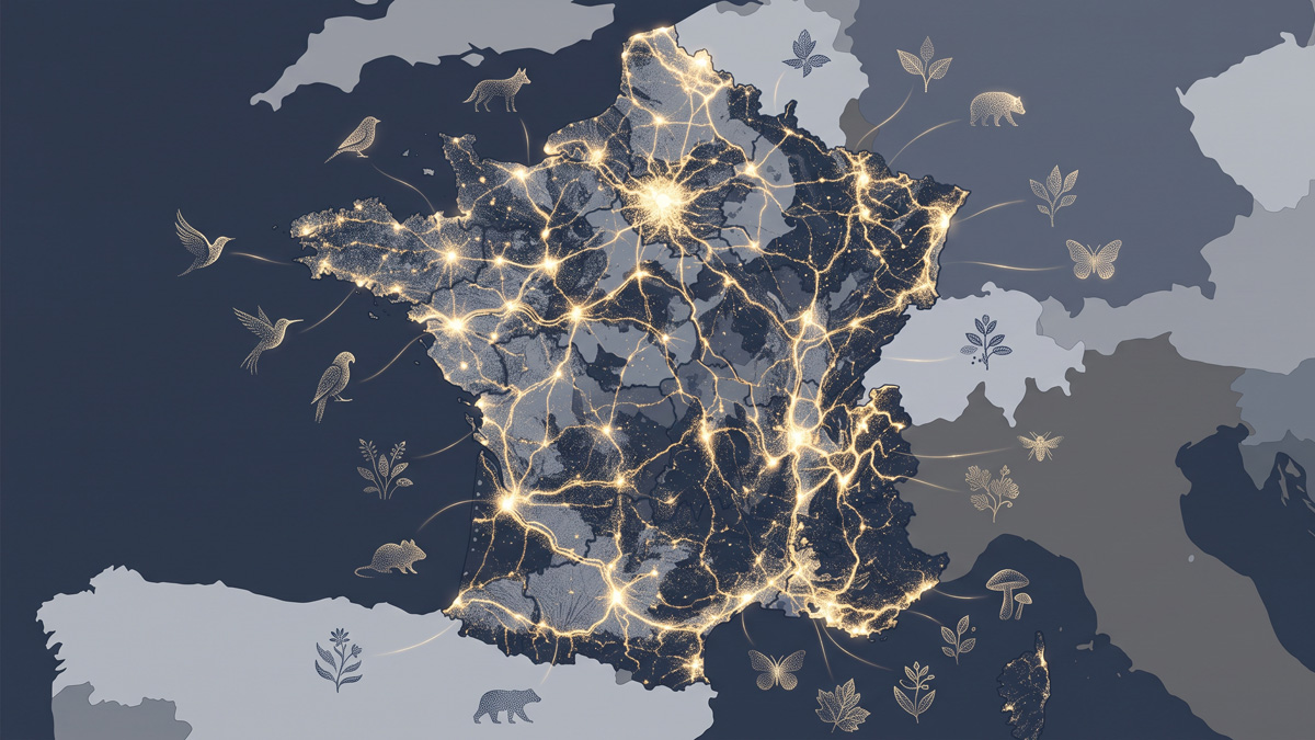
French Biodiversity
Millions of citizen observations map the living world across France.
No visualization matches this theme.
Millions of citizen observations map the living world across France.
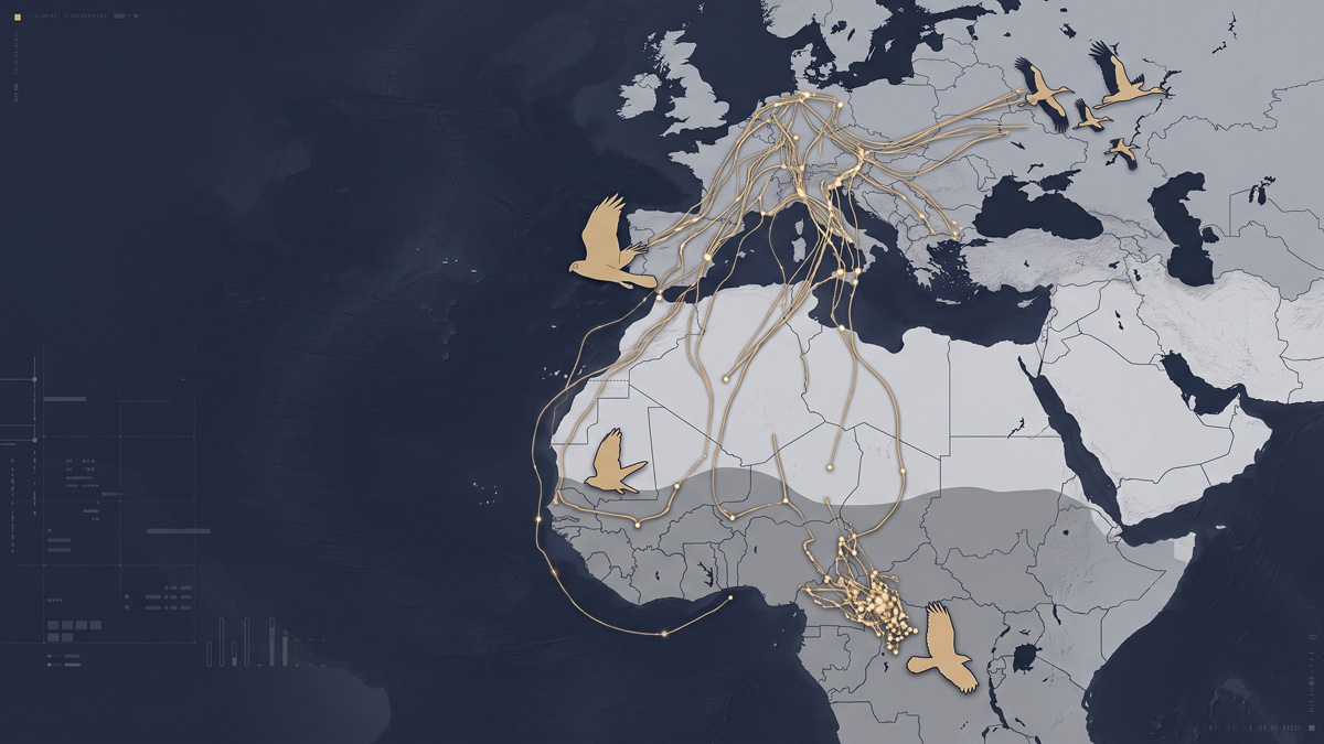
The real GPS trajectories of individually-tracked storks, harriers and cuckoos between Europe and Africa.
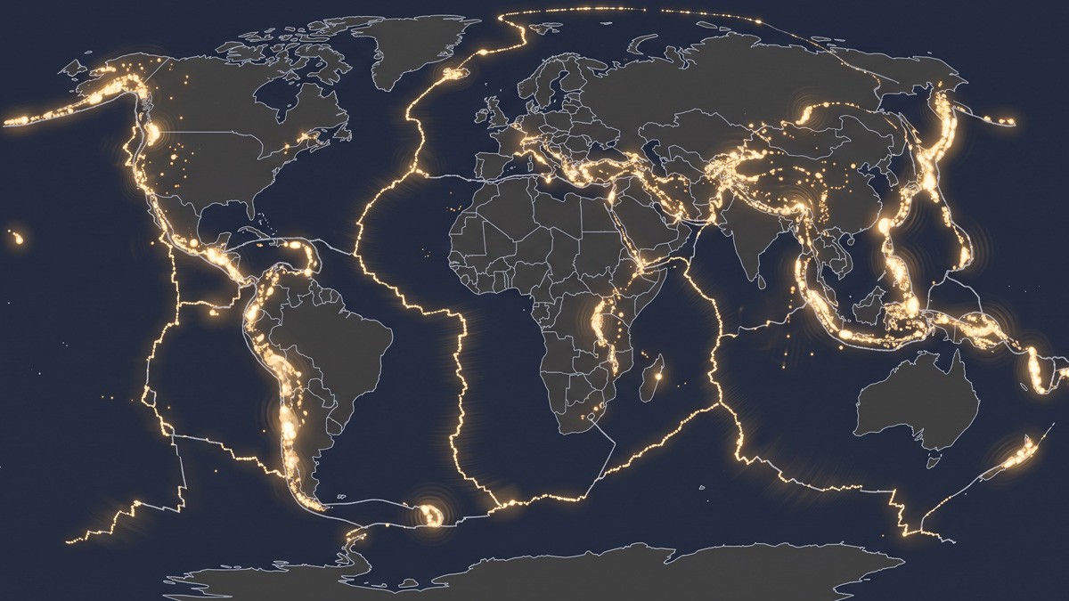
Over a century of major earthquakes replayed on a loop: their pulses trace, without needing to be told to, the boundaries of the tectonic plates.
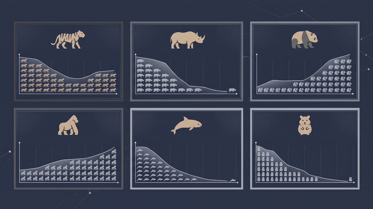
Six emblematic species, a crowd of icons that shrinks or rebuilds, census after census.
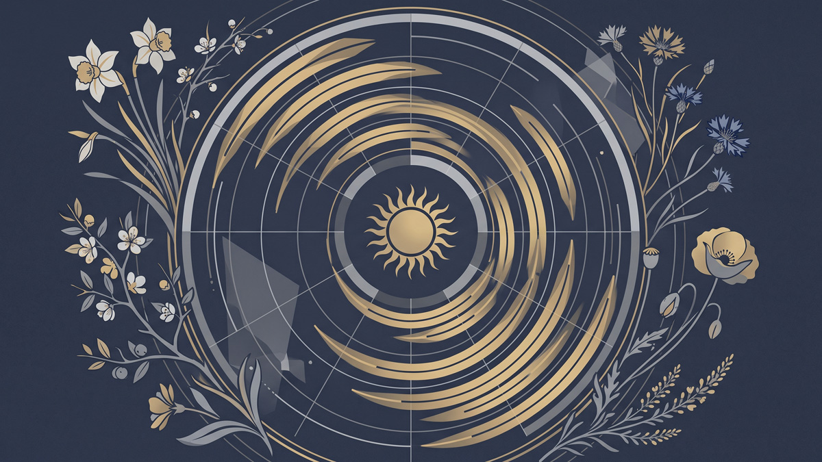
When wild plants flower in France, and how that calendar shifts with warming temperatures.
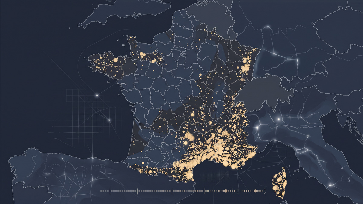
Over fifty thousand forest fires recorded since 2006: a map replaying them, year by year, across the country.
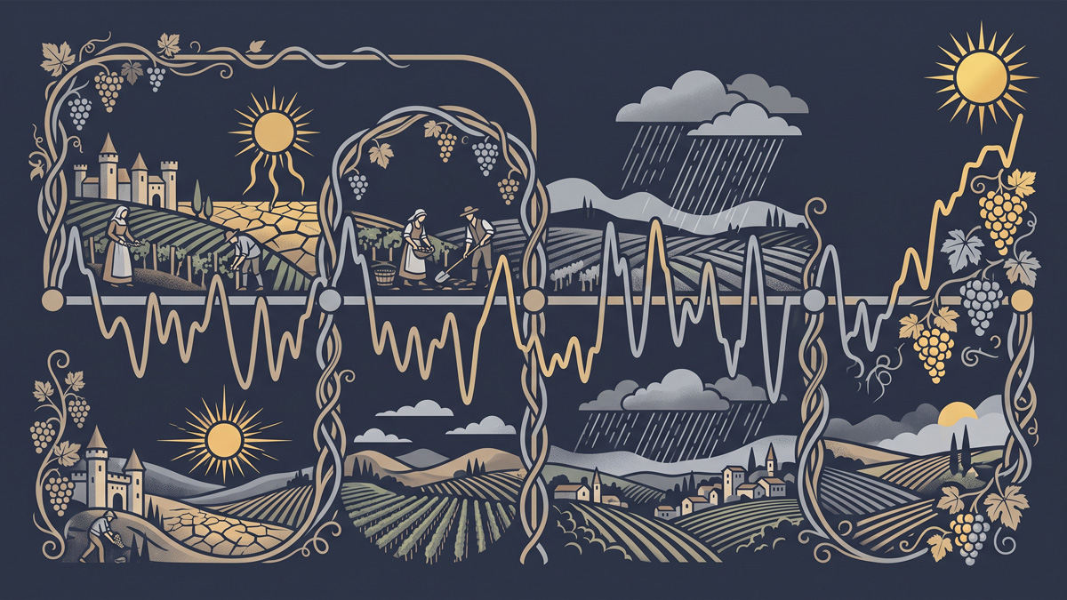
Since 1354, French grape harvest dates have traced the history of climate in France, extreme droughts, summers that never came, vineyard crises, and record-breaking early harvests.
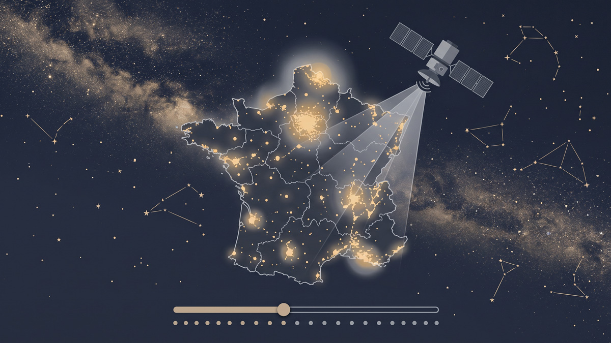
Since 2013, satellites have measured the artificial light emitted from the ground across France each year: what you can still hope to see in the night sky, region by region.
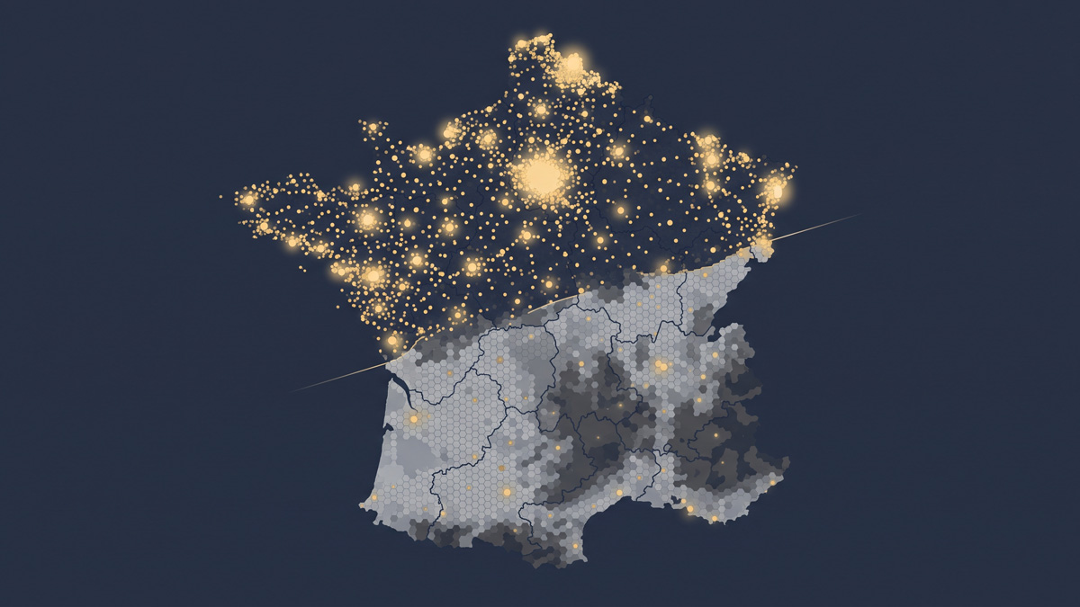
Thirty-four thousand communes, two maps in one: access to general practitioners today, and what it becomes without those about to retire.
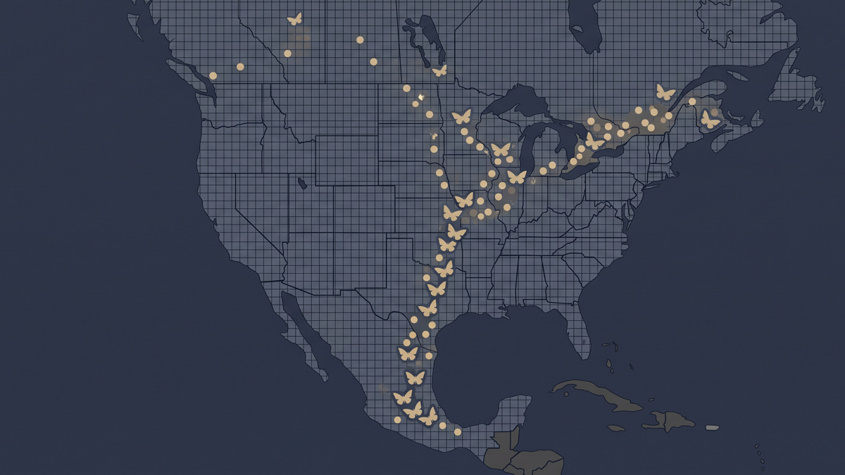
A journey no single butterfly completes: the monarchs' relay between Mexico and Canada, month after month, drawn from nearly 400,000 observations.
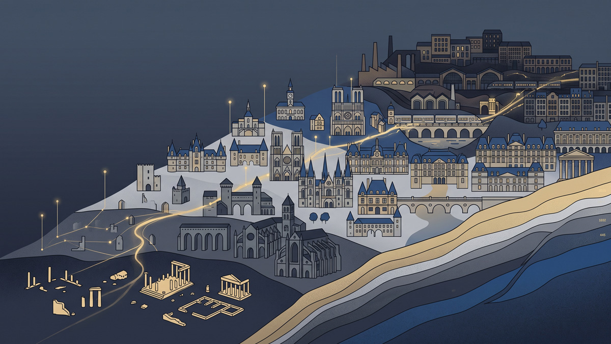
Forty-five thousand French historic monuments, from their oldest known stone to today: a map that builds itself before your eyes, century after century.
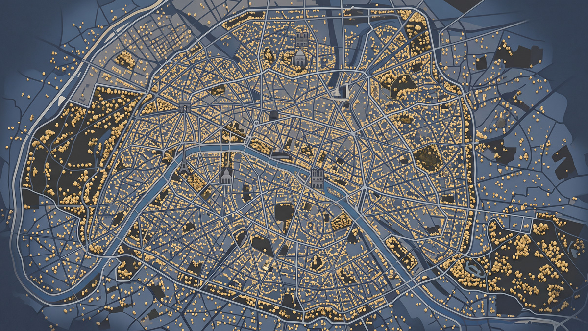
194,000 of Paris's trees, mapped one by one: explore them by district, genus, or species name.
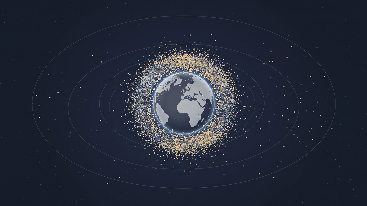
A swarm growing since 1957: the accelerating number of satellites in orbit around Earth, and who launched them.
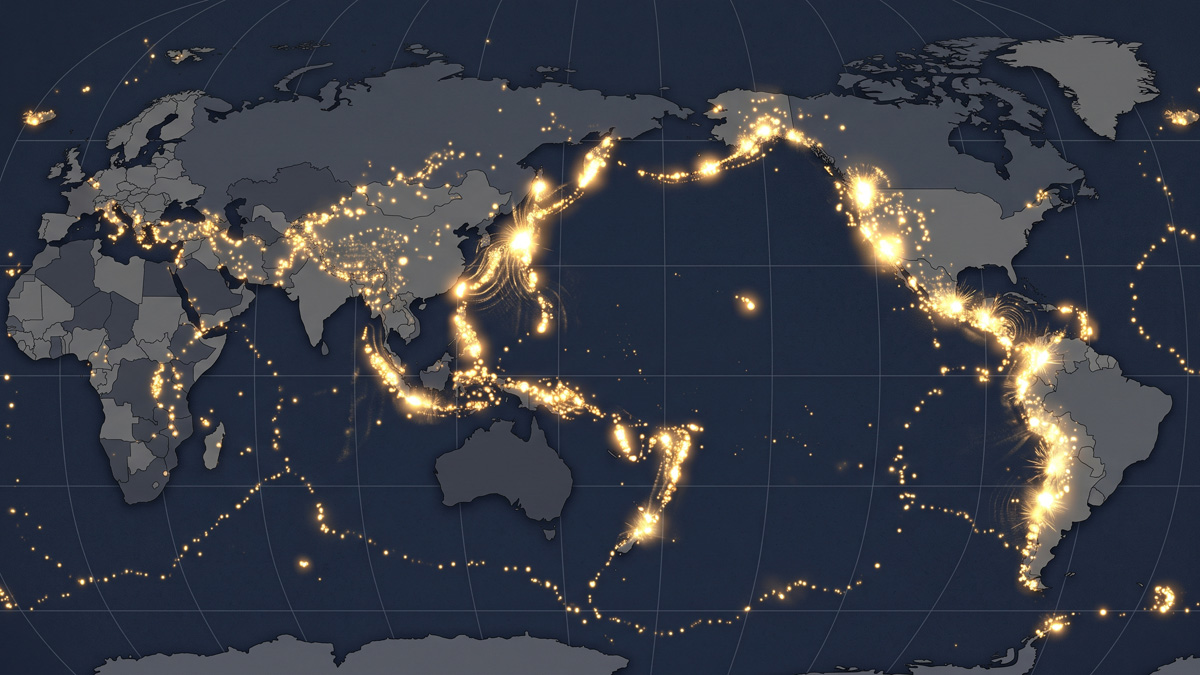
Ten thousand years of volcanic eruptions replayed on a loop: the Earth has never stopped shaking, the ring of fire barely visible at rest.